Whether you’re The best reflective running gear for 2024, best hydration packs and vests for training half-marathon, marathon or even ultramarathon, you may need a bit of help when it comes to plotting routes that are safe, suitable, achievable and, of course, enjoyable.
This is where a handy selection of running apps and mapping websites can point you, quite literally, in the right direction. Most of these resources enable you to download GPX files and send them to compatible running watches, giving you turn-by-turn navigation as you run.
If you’re happy to run around the local park as many times as needed, then all the power to you – but varying where you run every once in a while can help you to stay motivated, engaged and willing to lace up those running shoes time and time again. So, ready to mix things up? Here are five of the best digital tools that you can use to plot some new and improved running routes.
Strava
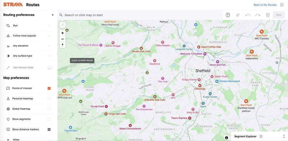
Arguably the big dog of the running app world – and a go-to resource for cyclists, triathletes, hikers and various other sportspeople, too – Strava offers both a free and subscription-based service for athletes who want to log their activities and get a ton of insights about them, too.
If you’re a Strava subscriber, you can use the ever-evolving route tools on the app or desktop version to plot your own running courses, or get Strava to do the work for you – just select running as your chosen activity and enter the distance you’d like to run, the surface you’d like to run upon, your preferred elevation profile and so on. Then, Strava will suggest several appropriate running routes near you, based on where other runners have been. In fact, subscribers can also access a suite of heatmaps, which indicate the most popular running routes in certain locations – and at different times of the day and year – to further inform your route planning.
Komoot
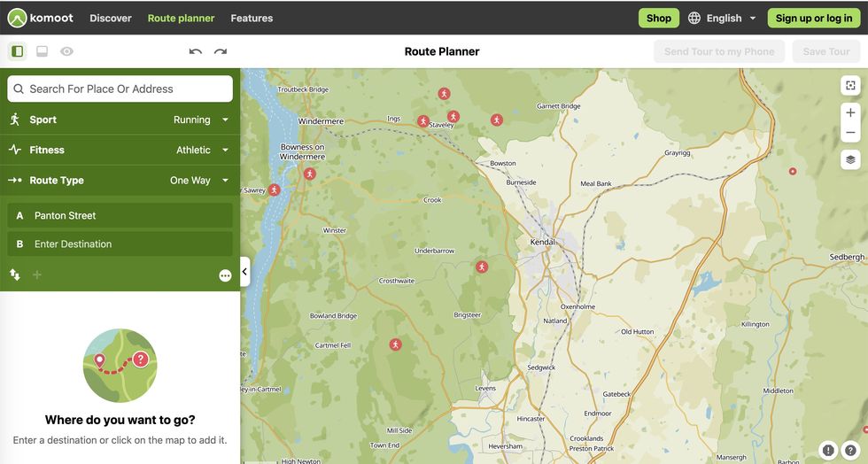
Having first had great success with cycling routes, Komoot is now a useful route planning resource for runners. The Komoot app and online platform allows you to enter a start and finish point and, from there, generates a route using what it computes to be the most logical or sensible route. A nice touch with Komoot is that other users can add highlights and other notes to their routes – to indicate, for example, quiet lanes, cafes or toilets – and you can then add these to your routes, too, to enhance your running experience. You just need an account to save a route, and there is a premium offering if you want to take things a stage further.
OS Maps
If you live in a rural area, or are eager to traverse more of the countryside, then OS Maps by Ordnance Survey is your ticket to success, as it is ideal for unearthing those forgotten bridleways and laneways while still showing you regular routes to run along. While there is a free version, you’ll need a subscription to access some of the better features like premium topographic maps (which, trust us, you want). Plus, once you’re logged, the countryside is yours to explore – whether that’s through running, walking, cycling or even horse riding. You can export your plotted routes from OS Maps and, if you do so using the app, send them directly to other apps, too. Very handy.
Plotaroute.com
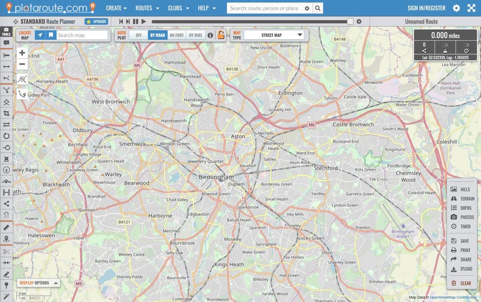
Similar to Strava, this is a simple route-plotting tool that works best on your laptop and comes with a considerable number of features – some of which are free, some premium. As you plot a route, it’ll work out the distance of your run and give you the option of inputting your running speed, which then enables it to work out how long the route should take you to complete. If you sign up and create an account, you can also save your routes to your phone and upload them to your preferred running app, although this can be a little fiddly.
Garmin Connect
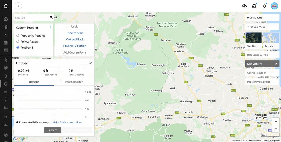
If youre a Garmin running watch, then you can create and favourite running routes (known here as ‘Courses’) in Garmin Connect. Using both the app and desktop version, you have the freedom to plot and save your own custom, point-to-point running routes, which you can then sync with your watch. Alternatively, you can input your preferred running distance and direction and allow Garmin to generate the best course for you, based on and incorporating the most popular streets and trails run upon by other Garmin Connect users. Once again, you can then sync these courses with your watch, so you have them to hand (or wrist) when you run. Winner!

